Kitty Currier
geographer ⋅ sailor ⋅ kite flier

geographer ⋅ sailor ⋅ kite flier
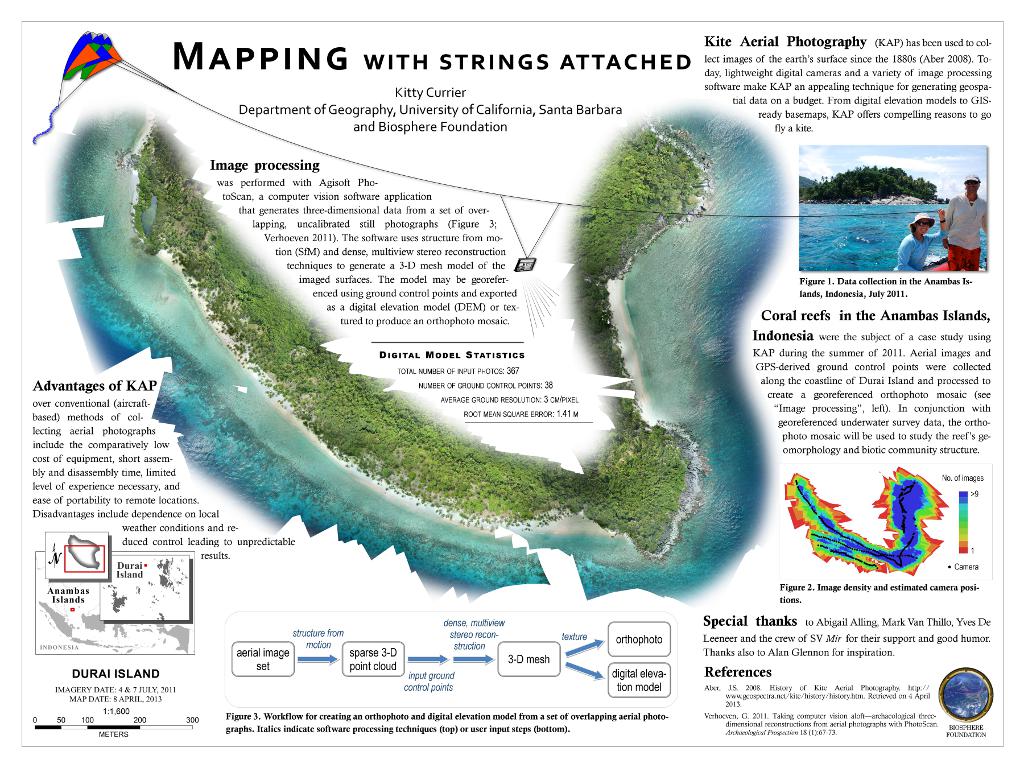 Mapping with strings attached
 Documenting coral reefs with "Immersive" video (2011)
 Sound cues in geographic representation (2010)
 Places
 Locals
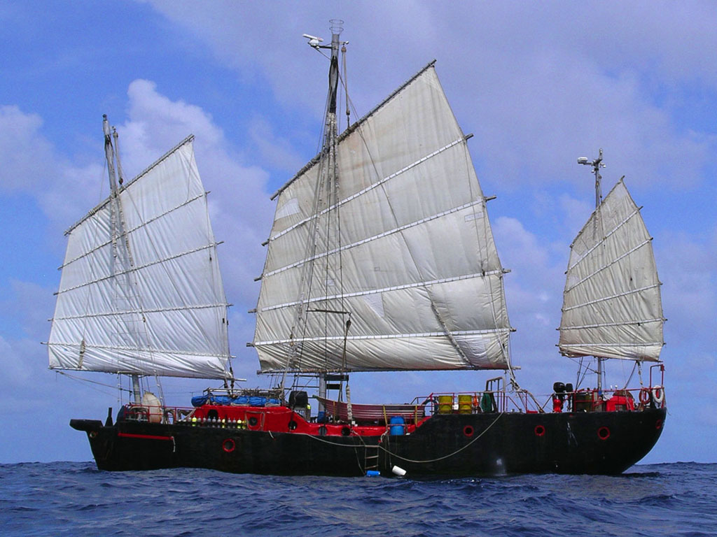 Voyaging
 Kite Aerial Photography
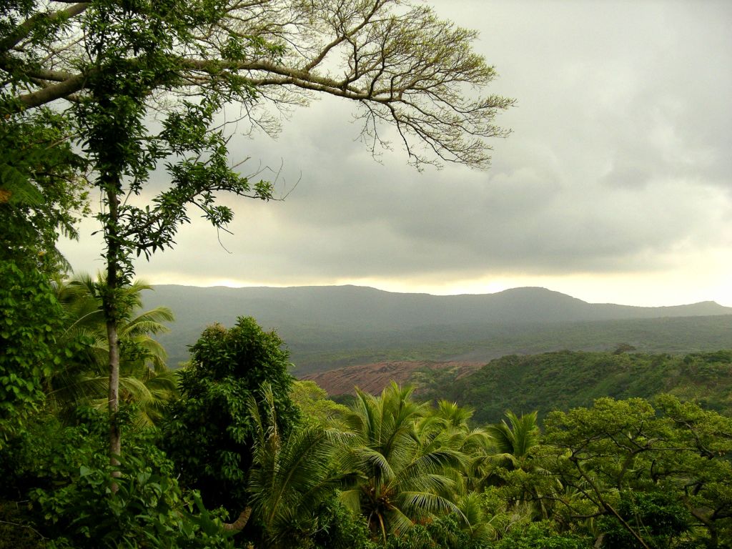
 Durai Island, Indonesia
 Economic Terrain of UCSB
 Planetary Coral Reef Foundation Google Earth-Ocean Demo Project